Services
Delivering high quality, technological applications to meet heritage needs.
Geophysical Mapping
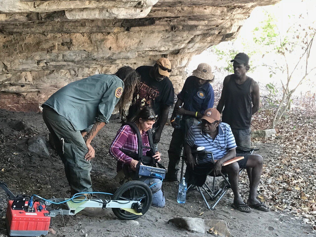
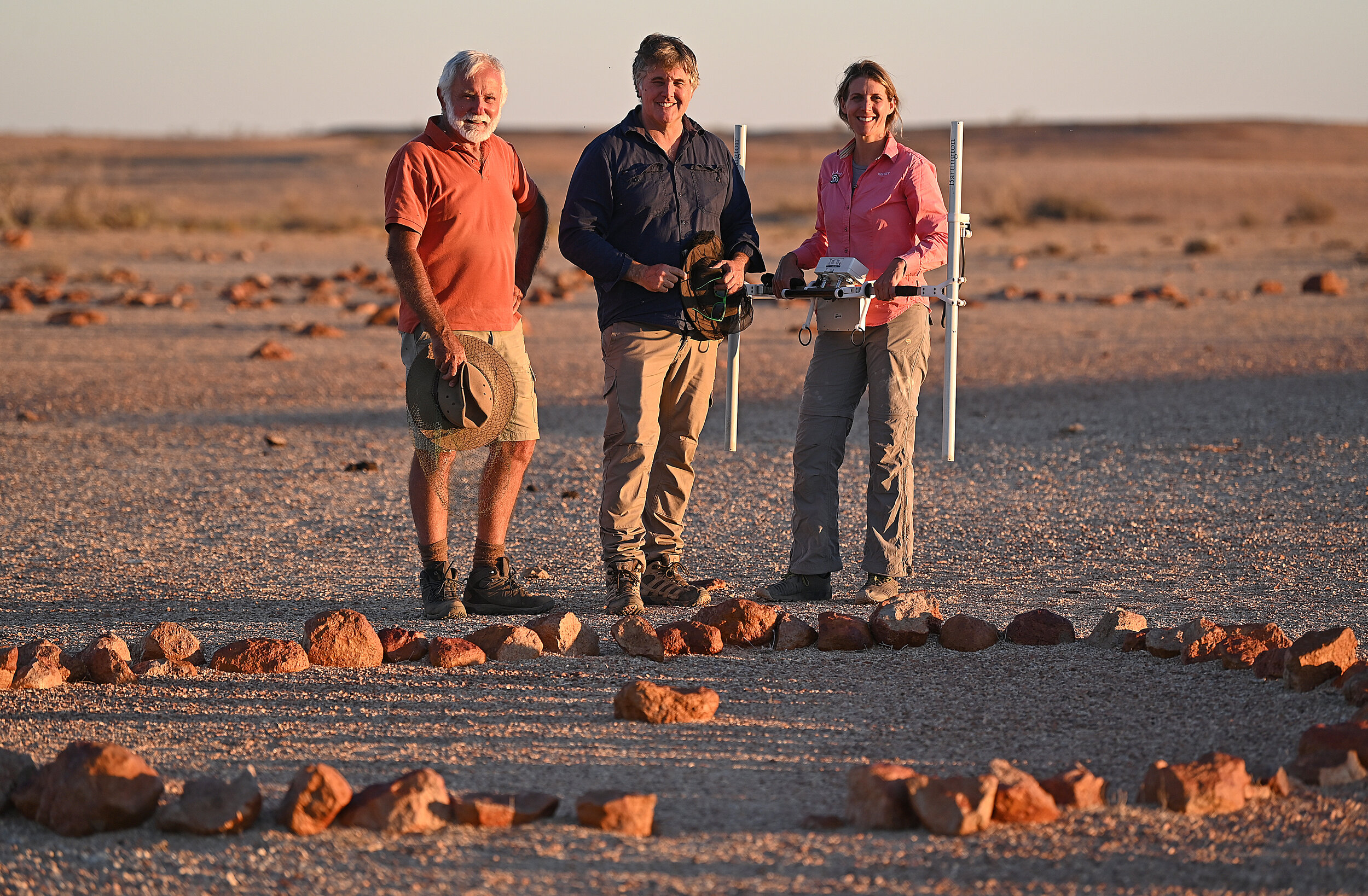
Geophysics is a minimally invasive and efficient way to map archaeological features below the earth’s surface using a series of technologies including ground-penetrating radar (GPR), magnetics, electrical resistivity and conductivity. Such technologies can provide spatial information of a site’s subsurface including information about buried stratigraphic layers and location of features such as hearths, shell middens, roof fall, or burials. They can also be used to evaluate the structural integrity of old archaeological sites, by providing a more comprehensive understanding of context and assessment of material culture, important outcomes to heritage management.
Geographic information Systems (GIS)
GIS is a tool for gathering, managing, storing and analysing data through the integration of spatial layers. Through the production of visual maps, one can understand the spatial patterning and relationship between layered features on the landscape, especially with the integration of other data such as geophysical mapping.


Community Outreach - Workshops & Training
We provide education and ongoing professional development for Indigenous and non-Indigenous people such as students and industry partners through learning and training opportunities in geophysical and field methodologies. Workshops provide training opportunities that facilitate engagement and capacity building among groups, establishes collaborative partnerships and ensures strategies for the heritage management decision-making processes.
Geoarchaeology
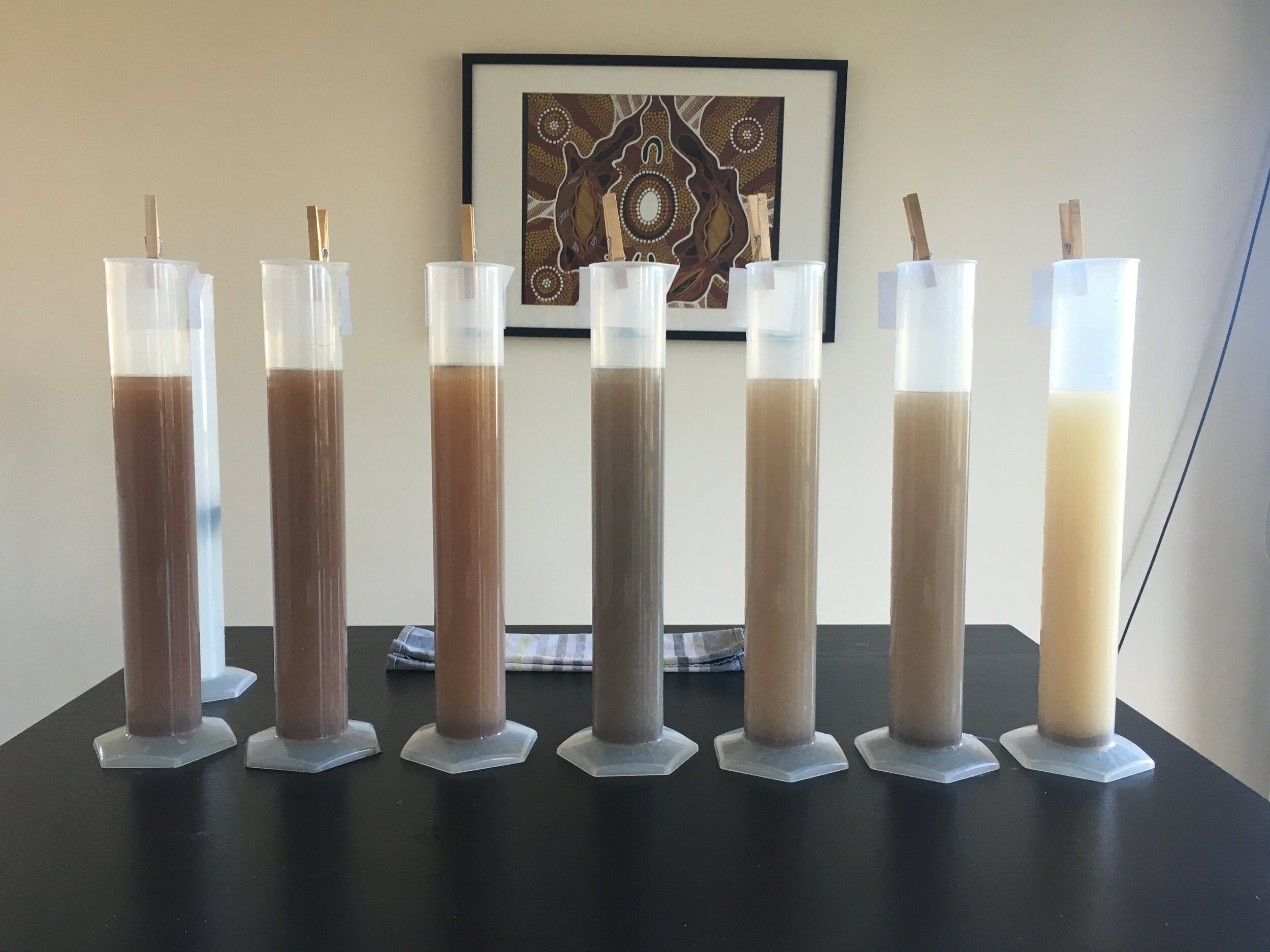
Geoarchaeology is a multidisciplinary field that includes methods in geoscience (geology, geography and geophysics) and other Earth sciences to understand archaeological features and site layouts. Soils and sediments are a major contributor to this field and include examination on the loss on ignition (LOI), particle size anaylsis and sediment magnetic susceptibility. These analyses provide information about a site’s stratigraphy through the characterisation of physical changes in the sediment, particularly enhanced magnetic values which distinguish anthropogenic from natural site formation processes.
Cultural Heritage Management
Our team includes highly experienced archaeologists with skills in archaeological survey and excavation. We work with mining companies, major infrastructure developers and Aboriginal parties to document known and potential Aboriginal archaeological sites. This includes Due Diligence Assessments, site surveys and excavations under relevant State legislations, cultural heritage reports and management recommendations.


Get in Touch
For pricing and packages.